Today’s word is : ELEPHANTINE. We had a big day planned for today – 35 miles from LaCrosse to Lansing Iowa, with 10-15 mph headwinds predicted. Hearty breakfast and a large order of mental fortitude were in order. I filled up at the Hampton Inn on premade omelettes and a waffle; Mark interestingly chose oatmeal. After giving me a hard time about eating the same things day after day, he kept riding the oatmeal train instead of other breakfast offerings. “I like oatmeal!” Was his judicious response.
Sarah and I walked back through the permanent Octoberfest parking lot to the boats, while Mark and Jacob drove all our gear. I was relieved not to see black smoke rising from the kayak landing area, but in the back of my mind I still envisioned two piles of melted blue and yellow plastic. When Sarah and I thought the boats should be in sight, but weren’t, our pace involuntarily quickened. Just as we were both about to gasp, blue and yellow plastic came into view, and still in the shape of two kayaks. Phew. However, every storage space had been opened and unfortunately, “everything” was not quite taken off the boats the day before. Lost were: 2 plastic tarps for use in stealth camp shelter, 50’ of nylon parachord from that served nicely for a quick tie up to docks and trees, one granola bar, and my well-used paddle gloves. My suntan lotion and Chapstick were found about 20’ away. I figure Seatless Joe was probably making away with those salves when Hammer-wound Harry smacked him upside the head: “Fool! What do we want with those? Leathered skin and cracked lips are key aspects of our physiognomy!” Seatless Joe can never be the brains of this operation. So, due to our laziness, stupidity, or thinking that giving away a Gatorade would pay it forward sufficiently, we made a donation to the LaCrosse homeless habitat and we were more than ready to leave.
As we started to load up, a more “respectable” but equally unsupportive couple walked by that I’ll call Mr. Maximus Negativity and his partner Belinda Bummer. Max made a few comments to Mark about the ridiculous gear and our lack of knowledge for a long distance river adventure. Belinda commented to Max about the size, weight and open-top nature of our kayaks. They literally shook their heads as they walked away, as if in disgust at the terrible lack of our mental capacity. Hey Max and Belinda – I’ve been at this 3+ weeks while you’ve been sipping cosmos on the deck of your cramped condo and living your adventure on HGTV.
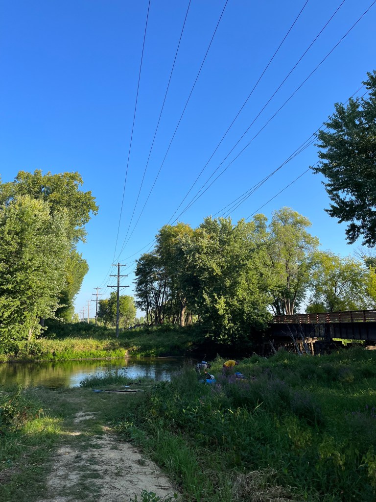
When Mark and I floated out of the LaCrosse River back to Big Muddy, we passed a fisherman in his boat, “Awful windy out there today; not a good day to be you two.” We gotta get out of LaCrosse. As we crossed under a bridge just outside of downtown, the next fisherman we saw was more familiar: “Where ya headed! New Orleans?!?! Good for you! I always wanted to do that.” Now we were back in our element.

Excepting that first placid Lecy day, every day since has been full of head winds and waves. Not only is it punishing physically, it also means the return of all day wet feet and cheeks. I could really use another calm, dry day to avoid trench foot and the lesser known menace, trench butt.
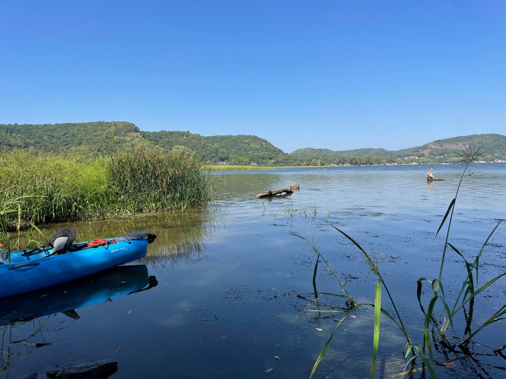
Mark and I found a calm spot on the lee side of a random island for a PBJ shore lunch. Though Mark limits himself to 1/2 sandwich, he admits that the PBJ is suitable and desirable for such an adventure. The scenery had changed back to more of a wetlands feel, though waters were wide. I did a quick check of the map to discover we were sitting on the north end of Horseshoe Island, though we were in close proximity to Snake Tongue Island and Mark’s serpentine senses were tingling. As I frequently do, or at least feign to do, I scanned our surroundings for slithering vermin and declared our landing safe for lunch.


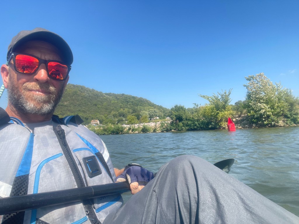
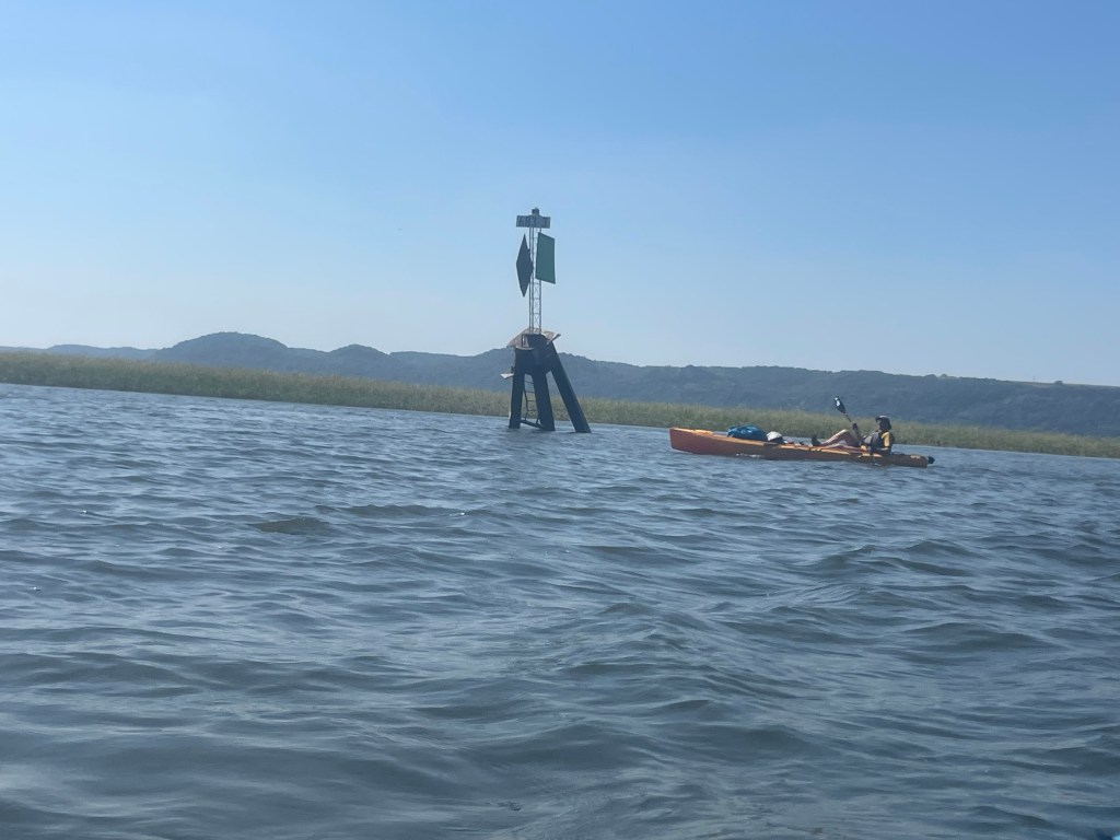
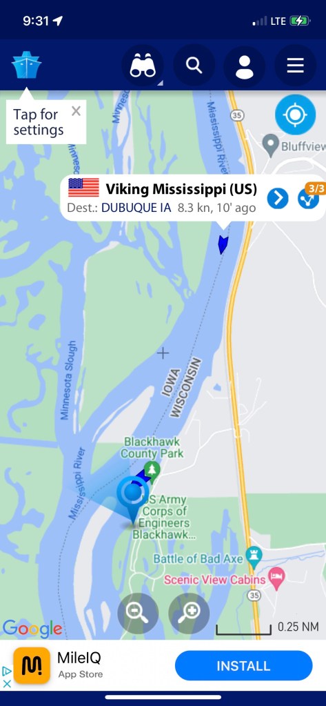
Speaking of maps… a quick sidebar about navigation on the Mississippi. As you travel the river south of Minneapolis, the US Army Corps of Engineers has marked the main channel with red and green buoys. Between these buoys with controlled flow from the dams, they aim to maintain at least 9’ depth in the main channel for barge travel. As you’re traveling upstream, red equals right side, and green left; so going downstream it’s reversed. We usually try to stay just outside the channel to avoid interference with larger boats (which is every other boat we see), though the occasional shortcut across wide shallower water is periodically chosen, sometimes to our regretful, reversing demise. Also, there are markers on the banks periodically that help ensure you’re on the right channel and usually provide the mileage markers. I had feared it would be easy to get lost amongst the river’s twists and turns, but unless you have the competence of Seatless Joe, it would be hard to get lost.


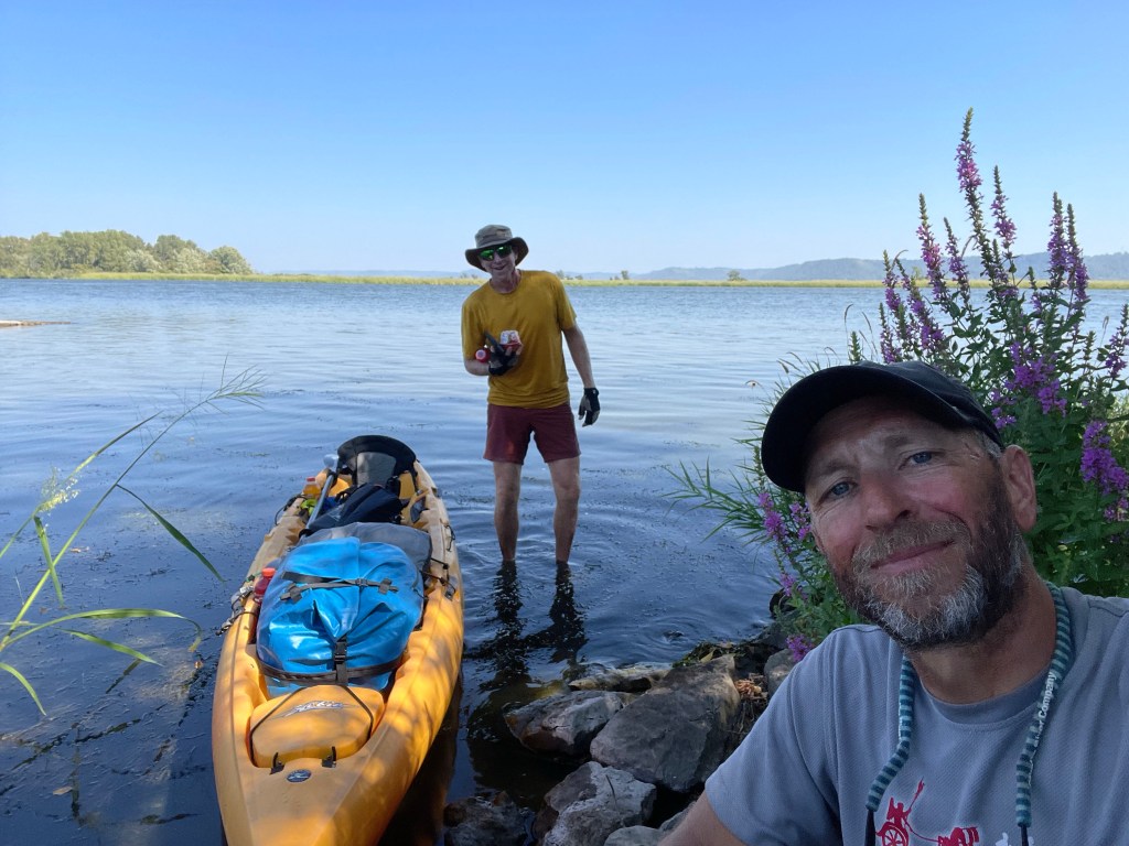
We battled the wind all day. When we stopped for our last break of the day we realized we had unceremoniously left Minnesota in our rear view mirror. Apparently there was a sign on the right bank, but it wasn’t obvious to us, and starting the day we didn’t realize that milestone would come today. Goodbye state of the river’s source; thanks for the memories. We were now oscillating between Wisconsin and Iowa in or travel.
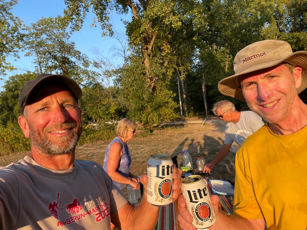
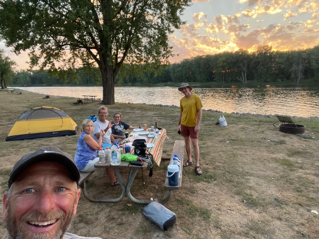
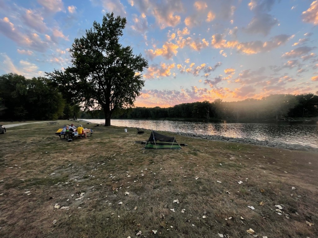
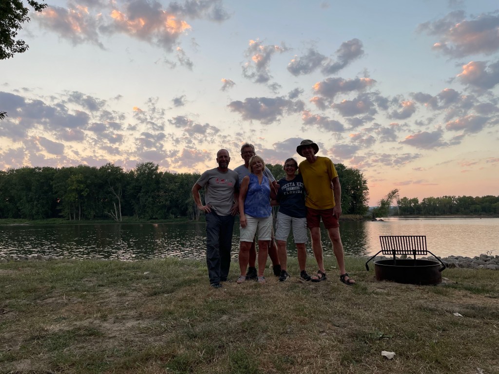
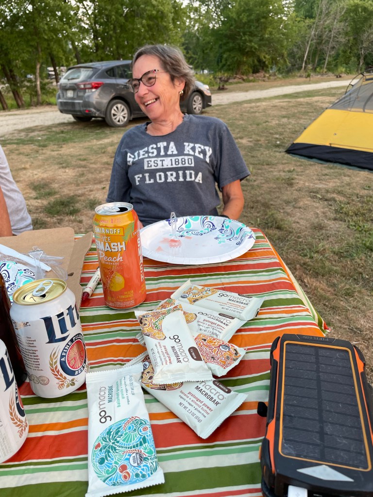
Our original plan to reach Lansing Iowa was altered; we stopped about 6 miles short in De Soto Wisconsin. Darkness was going to overtake us before reaching Lansing, so we layed up short at Blackhawk campground with showers instead. Lansing was initially chosen as Mark’s dad’s partner’s cousin lived nearby, she’s become a fan of the blog and wanted to offer some support in the form of dinner. Thankfully, De Soto was still within Sally’s range, and she showed up with pizza, beer and friends Sandy and Bill just after we set up our tents and addressed lesson #1 (dry pants and socks).
Though we were following up Al’s pizza with Lansing pizza, it was still better than freeze dried undercarriage stroganoff. Sandy also brought cantaloupe and watermelon, which she admitted was 2 days old from a Labor Day party, but it was delicious and gave yet another day of scurvy reprieve. I’m thinking the scurvy may gain some ground when I’m on my own in a week, but I’ve outpaced it quite significantly recently.
Sally’s husband, who unfortunately couldn’t make it out, is a retired dairy farmer. Sally brought some energy bars that her husband got from some guy at the city dump. I didn’t quite understand how this transaction occurred, or why the bars came from the dump, or whether they were created from “natural” dump ingredients, but she claimed they were delicious. We tried to understand, Sally tried to explain, and then we just went to the cooler for more beers.
Bill introduced me to a new Marine Traffic app to replace what has been a relatively useless FindShip app; the latter showed the first barge tow we encountered in Hager City, but it’s been absent any useful data since. Thanks Bill for the upgrade. We were rewarded with another beautiful sunset at our riverside $15/night campground, which where we had acres of space to ourselves.
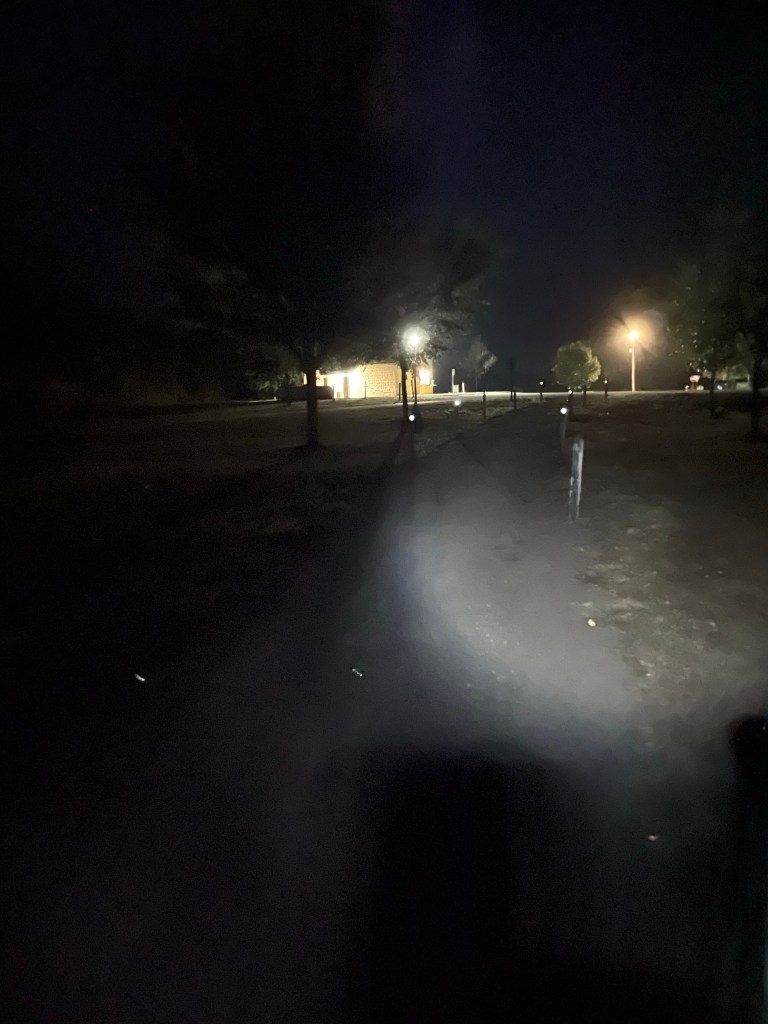
Afterwards I wandered for 10 minutes looking for the showers in the dark. There were no campground maps, and no humans to be seen. Finally I came upon a couple at their campfire who pointed back in the opposite direction to a whole other camping area. This was the best shower yet with warm water that blasted with near painful force; soap was hardly necessary with this hydroblaster.
Refreshed, I blogged in the tent until after midnight and saw the Viking Serenade cruise ship and a WWII Battleship (US LST 325) pass by, each shining blinding lights through my tent in search of buoys and shore markers. The river never sleeps for some, but I needed to try to catch a few hours before another day of wind and sunshine tomorrow.
Today’s song, in honor of our pizza and beer “Angel from Toledo”, our “Dairyman’s Dame” and the “Dump Bar Dealer” (I would’ve preferred a song about a dairy farmer’s wife, but this will have to do): Robert Palmer Sneaking’ Sally through the Alley

Leave a reply to Larry (Dad) Hager Cancel reply